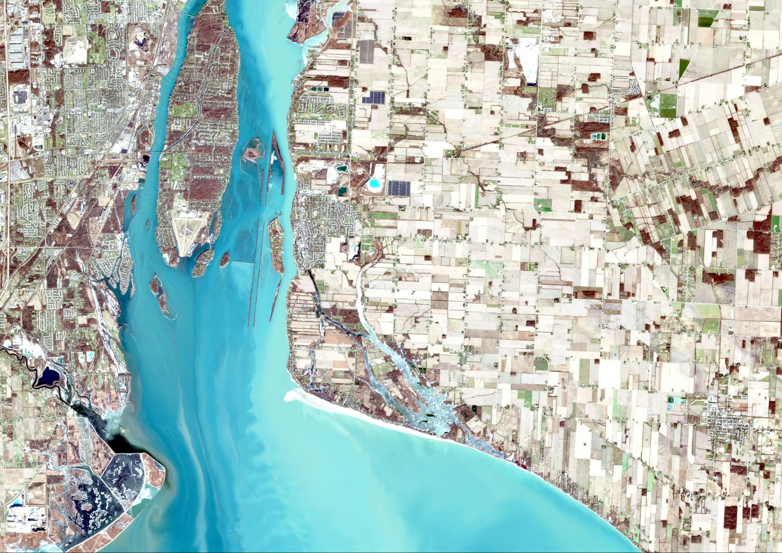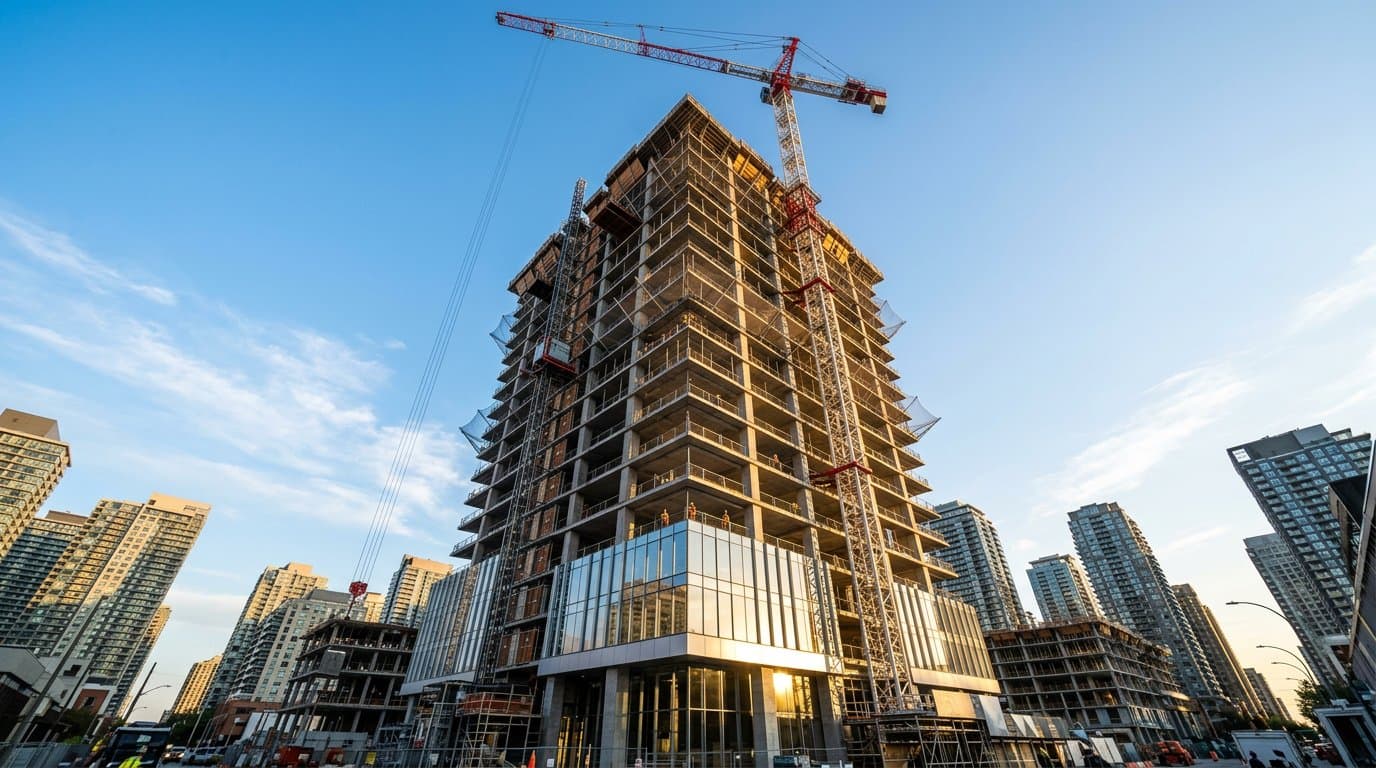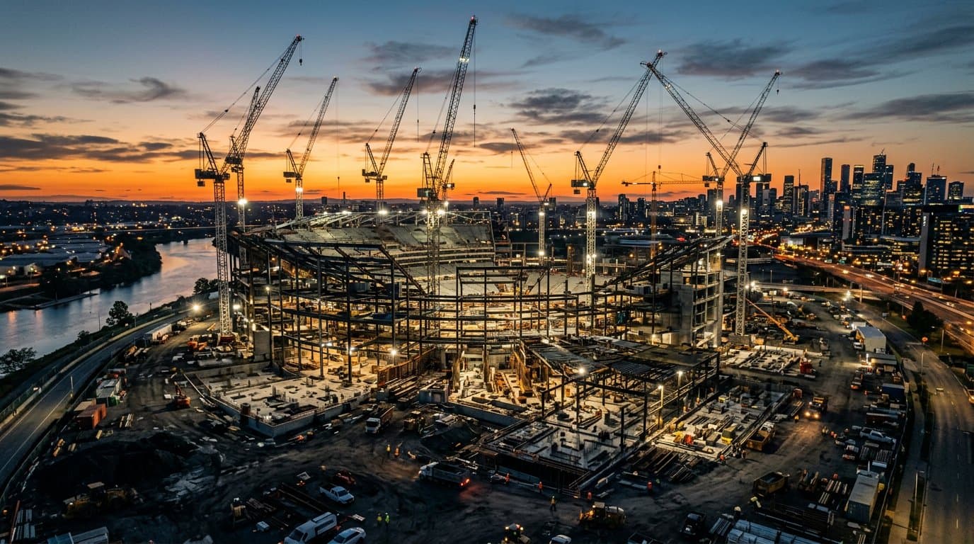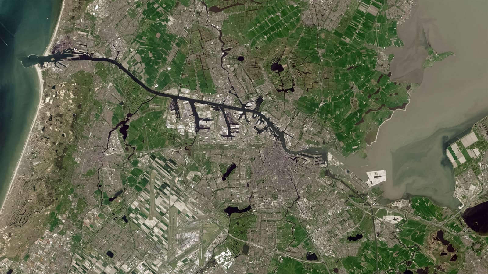
My education has taken me through two closely connected disciplines: Civil Engineering and Geoinformatics. The first taught me to think about structures, construction and the physical environment. The second introduced me to spatial data, mapping and analysis.
GeoAI interests me because it sits between these worlds.
What makes spatial problems different?
Many engineering questions are connected to location. Properties, roads, buildings, land, environmental conditions and infrastructure all exist within a spatial context.
That means there is an opportunity to use AI not just on tables of numbers, but on maps, imagery, spatial datasets and other geographic information.
Where could it help?
- Automating repetitive geospatial data processing
- Supporting image and spatial classification
- Identifying patterns across large geographic datasets
- Supporting property and land analysis
- Helping engineers interpret complex spatial information
Still a direction I'm exploring
I see GeoAI as a future area of development rather than something I would describe as an established service today. There is a lot to learn about the AI methods themselves, data quality, validation and responsible application.
The interesting question is not whether AI can replace engineering judgement, but how it can give engineers better information with which to make decisions.
That intersection of engineering knowledge, spatial data and intelligent technology is where I want to continue learning.
Enjoyed this one?