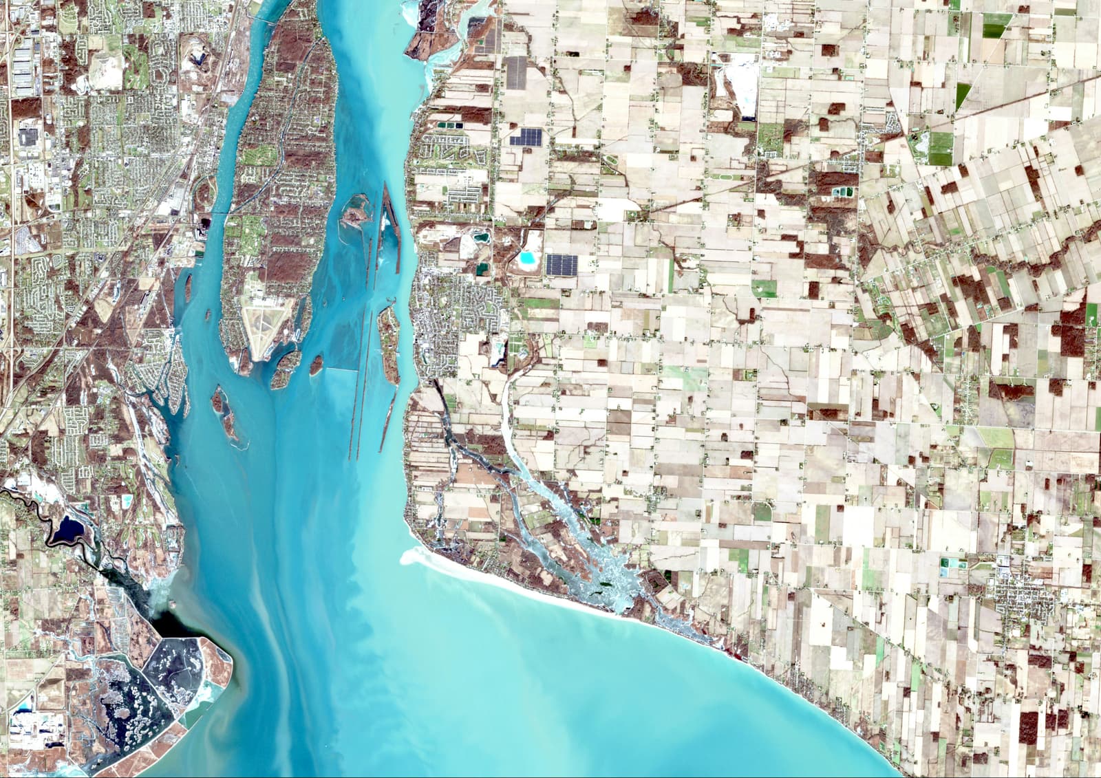
Land records contain information that is fundamentally spatial. Parcels have boundaries, locations, neighbouring properties and relationships with roads and other features. Digitising that information therefore requires more than simply converting documents into digital files.
Spatial accuracy matters
A digital record is only useful when its location and attributes can be trusted. Spatial data needs to be assessed, corrected and organised before it can reliably support further analysis.
Different data sources tell different stories
Maps, records, reference layers and field observations may not always align perfectly. Understanding the source and limitations of each dataset is an important part of geospatial work.
GIS makes relationships visible
Once land information is organised spatially, it becomes possible to analyse relationships that are difficult to see in isolated records. Location, neighbouring features, accessibility and surrounding development can all become part of the analysis.
Technology does not remove the need for verification
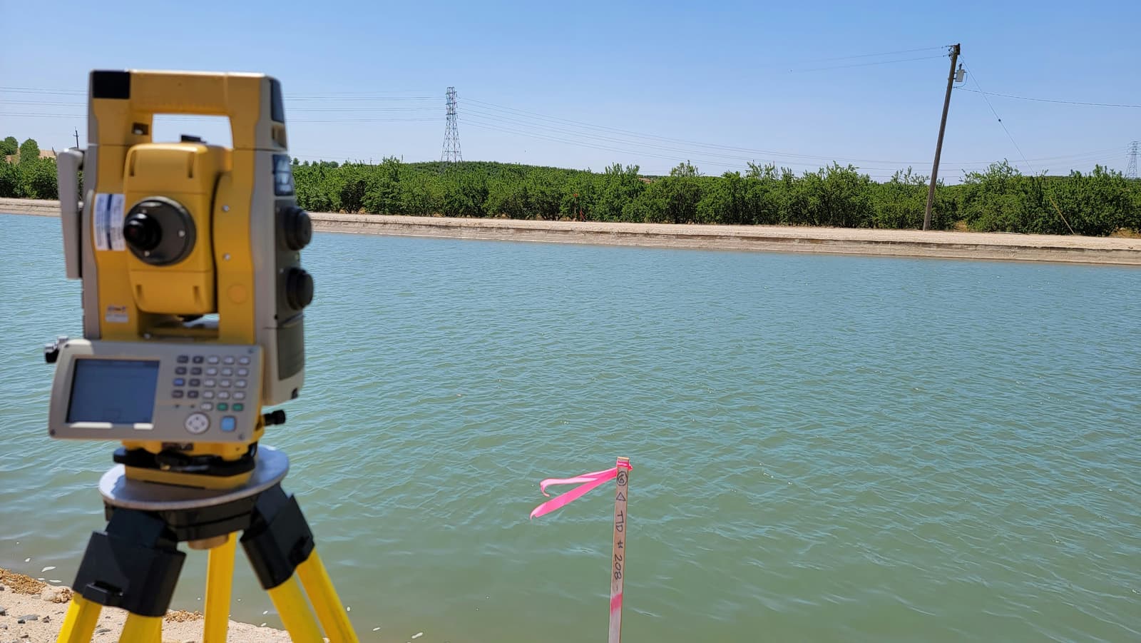
Digital workflows can make land information easier to manage and analyse, but field verification and careful data assessment remain important. The quality of the final output depends on the quality of the information entering the workflow.
Working with land-record related GIS projects strengthened my interest in the practical side of geospatial technology: making spatial information useful, understandable and reliable.
Enjoyed this one?