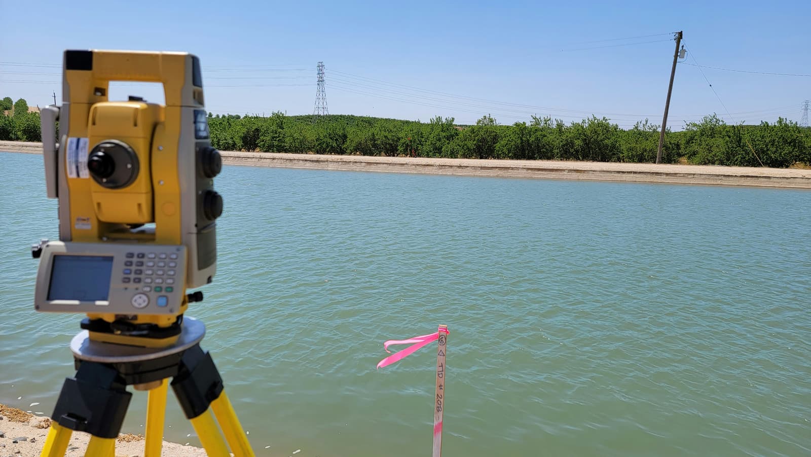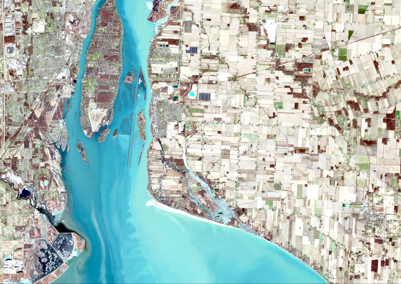
Civil engineering has always been connected to location. A road has an alignment, a building has a site, a property has boundaries, and every construction decision ultimately interacts with the ground around it.
Geoinformatics adds another layer to that understanding. Instead of looking at a site only as a physical location, GIS allows us to organize, visualize and analyse the spatial information surrounding it.
Engineering questions are often spatial questions
Where is the property? How has the surrounding area changed? What is nearby? How does land use vary across an area? Which locations need field verification? These questions can often be approached more effectively when engineering information is connected to a map.
Field knowledge still matters
GIS does not replace field observation. A map can show a boundary, road or building footprint, but field inspection helps establish what actually exists on the ground.
The strongest workflow is often a combination of the two: use spatial information to understand and prepare for the field, then use field observations to verify and improve the spatial picture.
Where this becomes useful
- Property identification and inspection
- Land and built-up area analysis
- Surveying and field data collection
- Urban and regional planning
- Infrastructure and site-related analysis
Good engineering decisions need both an understanding of the ground and a clear understanding of the data describing it.
For me, this intersection between civil engineering and geoinformatics is one of the most interesting directions in modern engineering practice.
Enjoyed this one?