Service
GIS & Geospatial Analysis
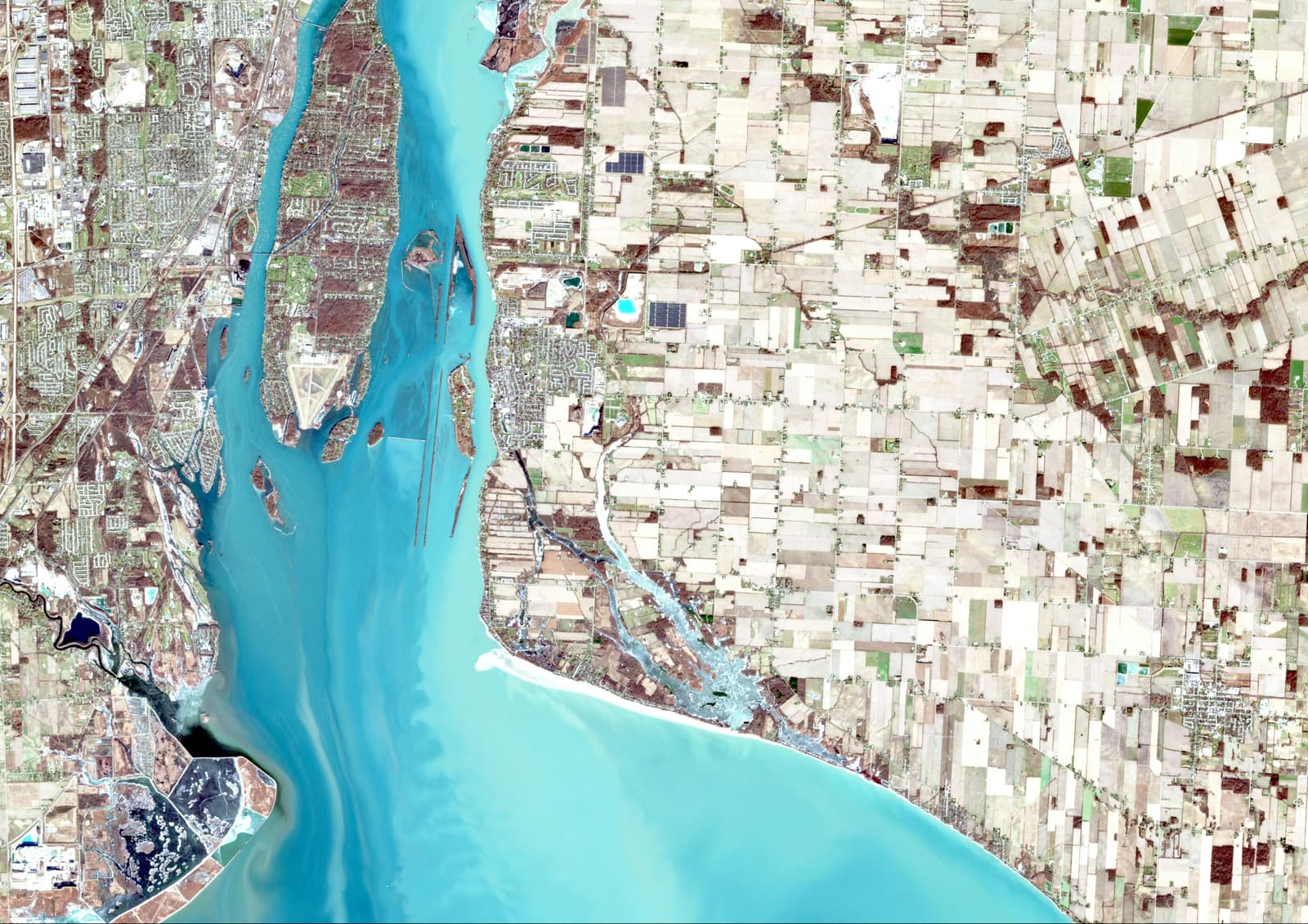
My Geoinformatics experience focuses on using spatial data to understand places, properties, land, and urban change. I have worked with ArcGIS Pro and Google Earth Pro across mapping, spatial analysis, land-data work, field data collection, and geospatial project workflows.
What's in it for you
Benefits, plainly stated.
- ArcGIS Pro-based spatial analysis
- Mapping and spatial data processing
- Land and property identification
- Field data collection and geospatial interpretation
The process
How an engagement runs.
- 01
Collect
Gather available spatial, field, satellite, and reference data relevant to the problem.
- 02
Prepare
Organize, process, correct, and assess spatial data before analysis.
- 03
Analyze
Apply spatial analysis and classification techniques to identify patterns and relationships.
- 04
Communicate
Turn the analysis into maps, visualizations, and understandable technical findings.
Keep exploring
Other capabilities.
Need gis & geospatial analysis for a live project?
Interested in civil engineering, geospatial work, property assessment, or a related opportunity? Er. Raja Dey is open to professional conversations and collaborations across India.
Mon – Fri: 9:00 AM – 9:00 PM IST · engineerrajadey@gmail.com