The challenge
Problem & engineered solution.
The problem
Property valuation requires reliable property identification, physical verification, technical assessment, documentation review and consideration of market and collateral-related factors.
Our solution
Work combines GIS-based property identification with physical inspection, boundary identification, market valuation assessment, technical and legal document verification, due diligence, collateral risk assessment and preparation of technical and valuation reports.
What made it hard
- Verifying property information against physical site conditions
- Combining GIS information with field inspection findings
- Managing technical evaluations across multiple locations
Deliverables
- GIS-assisted property identification
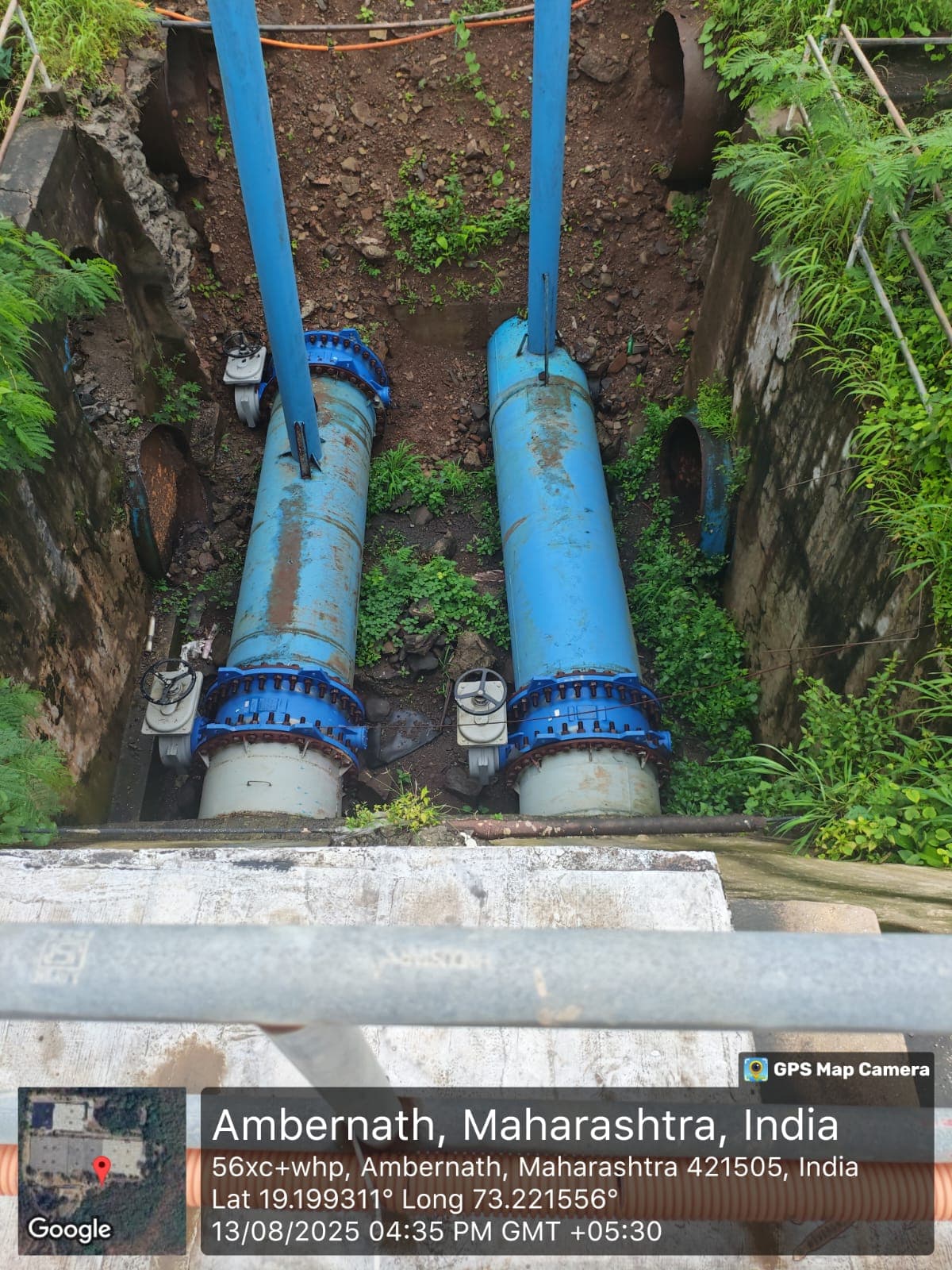
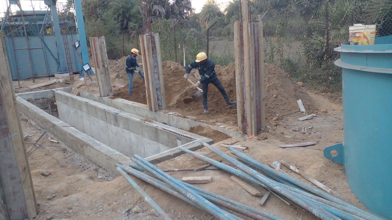
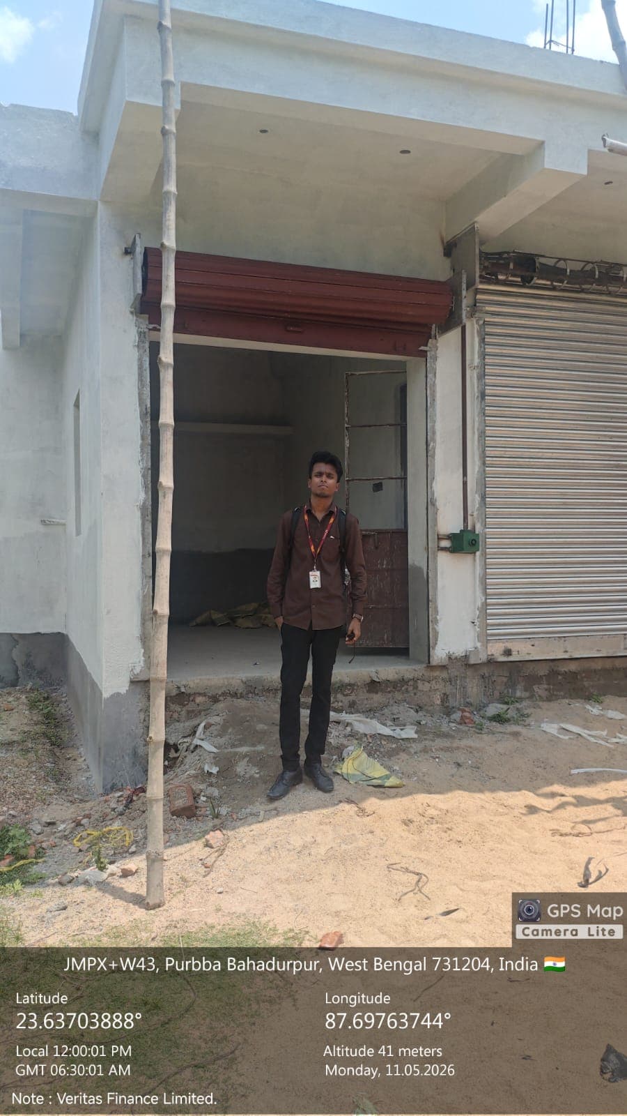
- Physical property inspection
- Market valuation assessment
- Technical due diligence
- Technical and valuation reports
The build
Construction process.
- 01
Identify
Use GIS and available property information to identify and locate the subject property.
- 02
Inspect
Conduct physical inspection and verify property boundaries and on-ground conditions.
- 03
Assess
Evaluate technical, documentary, market and collateral-related factors.
- 04
Report
Prepare technical and valuation reports to support informed decision-making.
Documentation
Site gallery.
Site
Project location.
Lessons we'd repeat — and ones we wouldn't
- Spatial data becomes more useful when validated against real-world field conditions.
- Reliable property assessment requires combining spatial, physical, documentary and market information.